
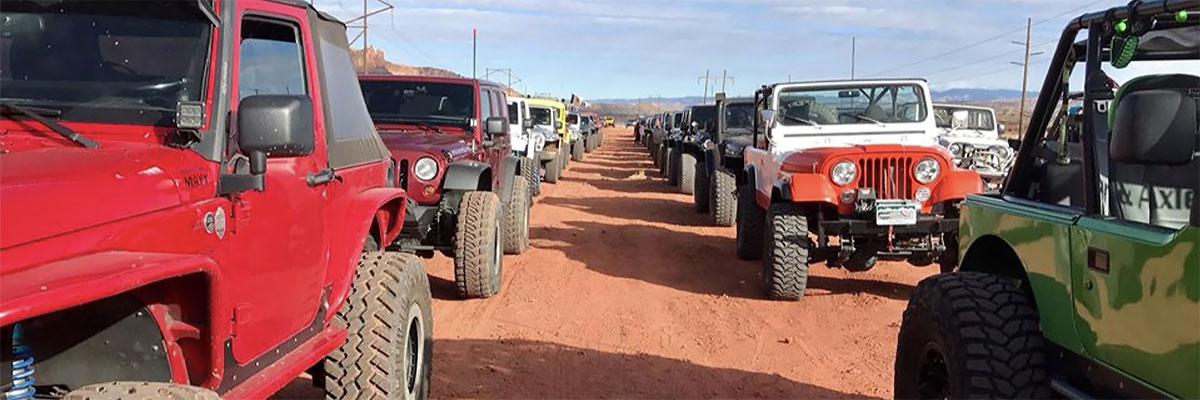
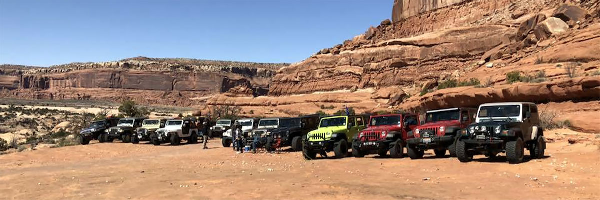
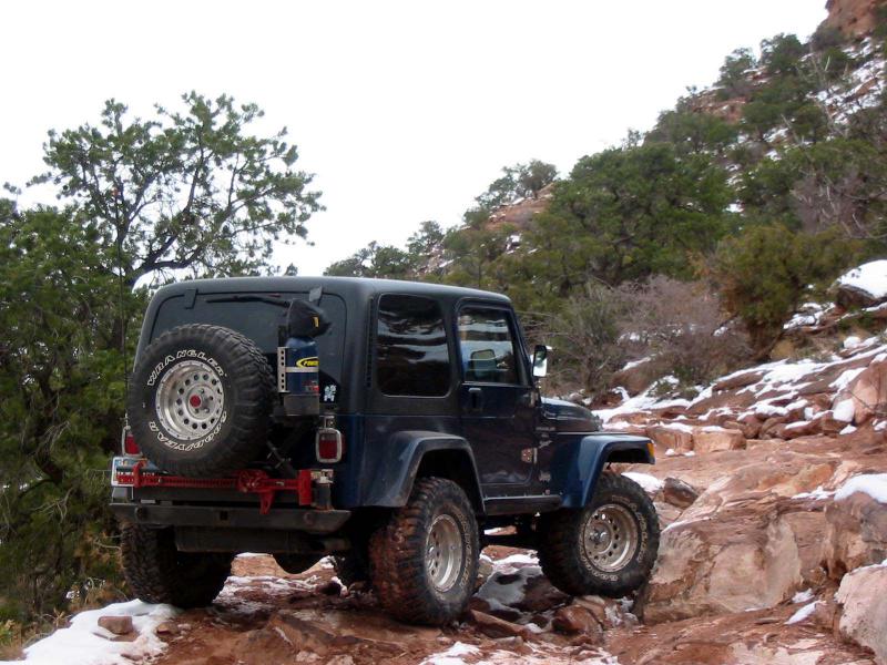
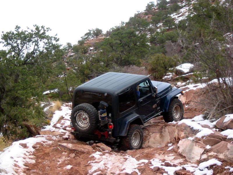
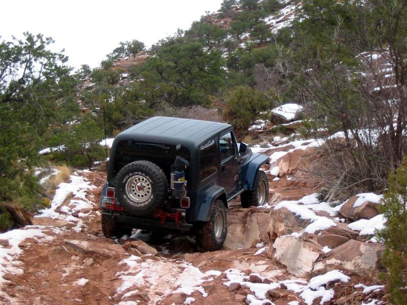
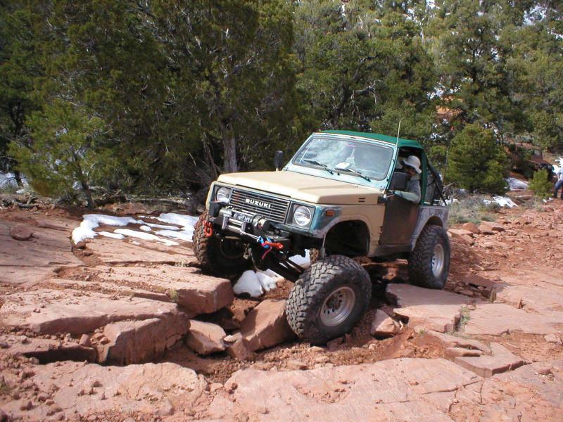
Porcupine Rim
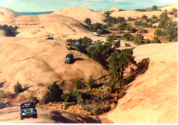
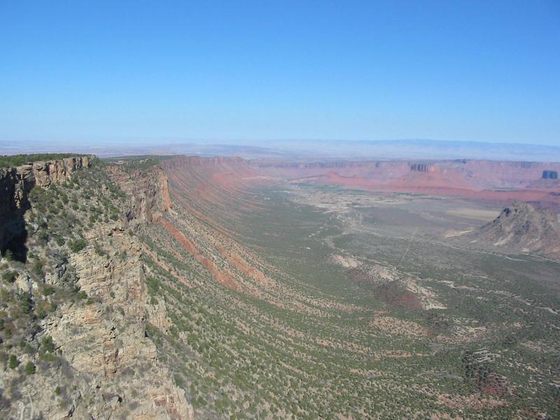
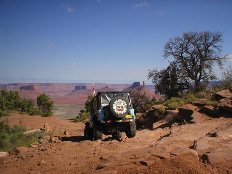
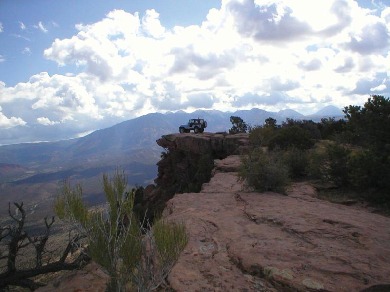
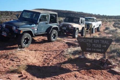 The trail begins at a spring fed water tank beside the Sand Flats road about 9-1/2 miles from Moab and drops down to a ledge above Negro Bill Canyon. It follows the narrow terraces along the upper slopes of the canyon. It then drops down into a small drainage and begins the rocky ascent to the top of the rim and some of the best scenic vista we have to offer. Lunch usually is planned for "Picture Rock", a slab of rock that juts out over Castle Valley. The trip then retraces the route back to Sand Flats Road. Be advised that the majority of this trail is continuously bumpy. Approximate mileages 32 total, 6 of four wheeling.
Scenery
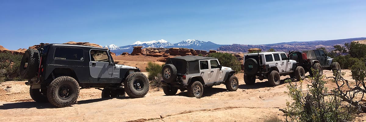
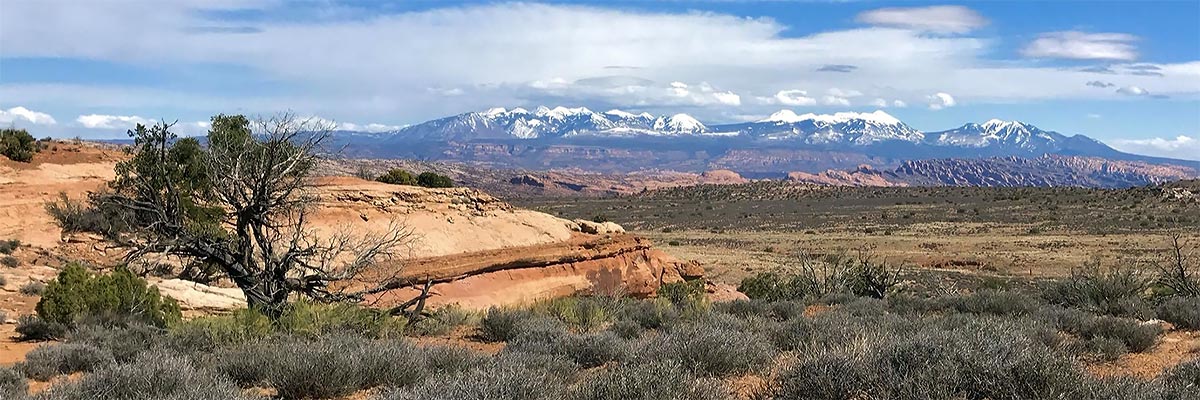
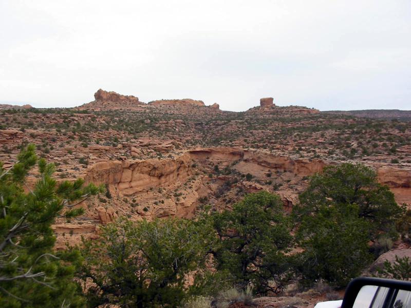
There are canyon's edge views into Negro Bill and Rill Canyons. Along Porcupine Rim, elevations are as high as 6,800 feet. 1,500 feet below is Castle Valley with its prominent buttes: Castle Rock, Priest and the Nuns, Perriott Mesa and Round Mountain. The LaSal mountains to the southeast make a great backdrop for pictures.
Surface
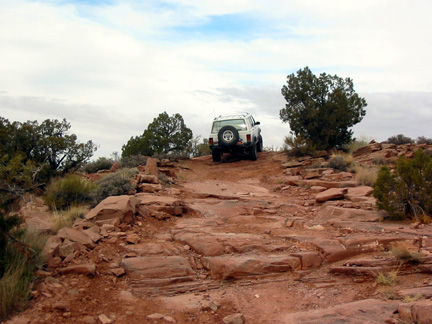
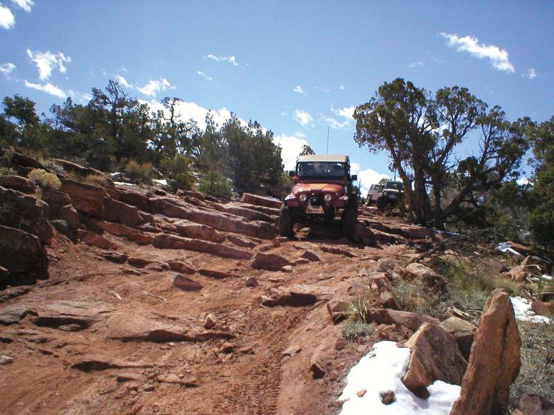
Although there is some slickrock, most encounters are with bedrock poking through in knobs and ledges that may spill your soda on the carpet. Because of it's elevation the trail ocassionally has some snow or residual mud at Easter.
Trail Details
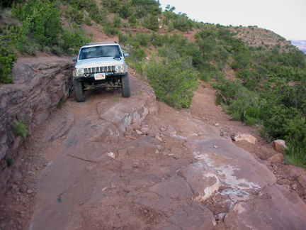
There are some off camber ledges near the head of Negro Bill Canyon that can test your vehicle's articulation. As the rim is approached, the rocks protruding from the roadbed get larger and more frequent. Between the first and second overlooks are some large rock ledges that could hold up traffic going each direction, particularly on the return trip. Picture Rock can cause the driver some anxious moments getting into position, but the picture can be spectacular.
Trail Rating

Trail Notes
Length: 32 total, 6 off highwayMin Tire Size: 33+ inches
Winch: No
Front Locker: No
Rear Locker: Yes
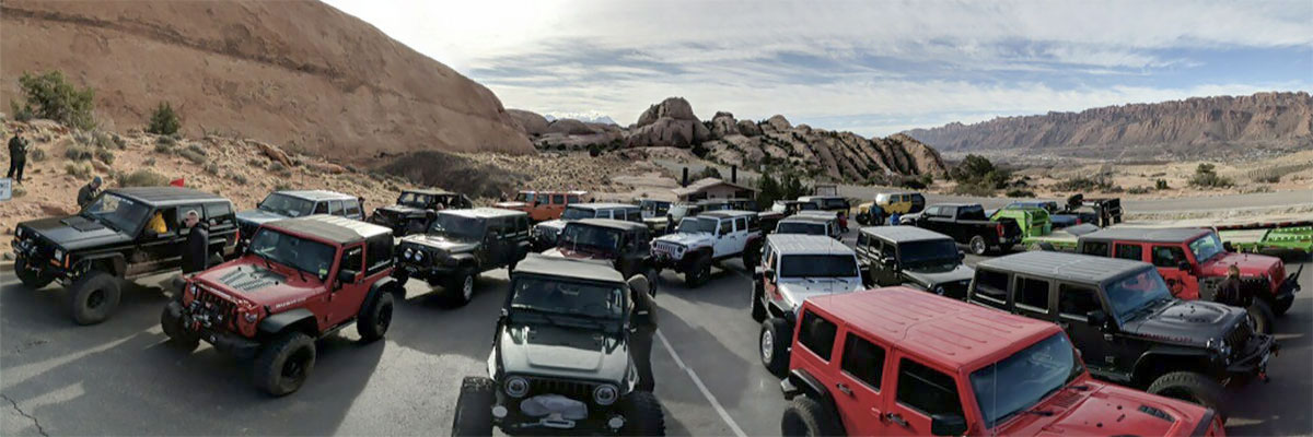
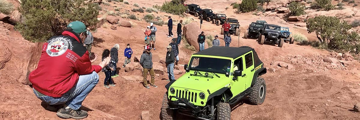
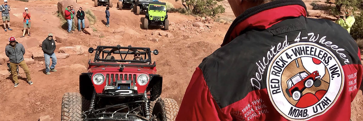
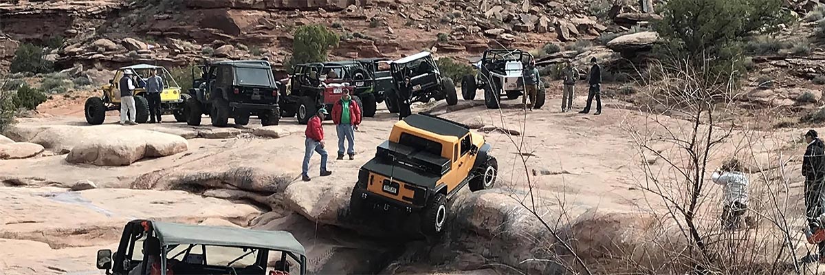
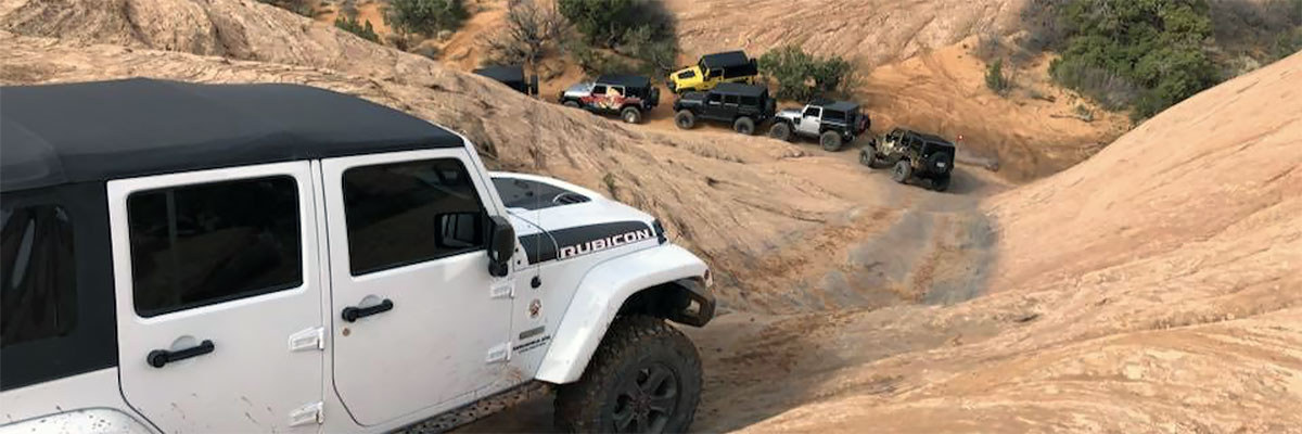
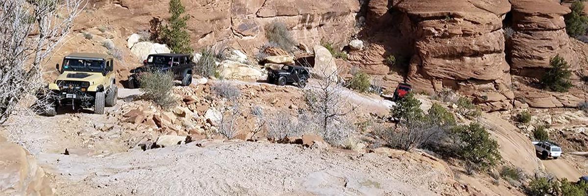
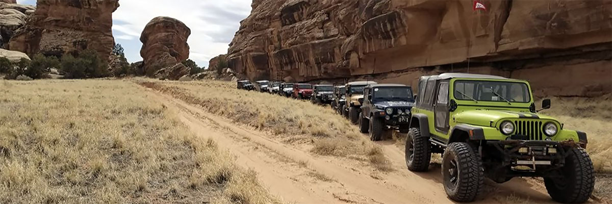
Trail Gallery

0011.jpg)
001.jpg)


 download the kml google earth track