
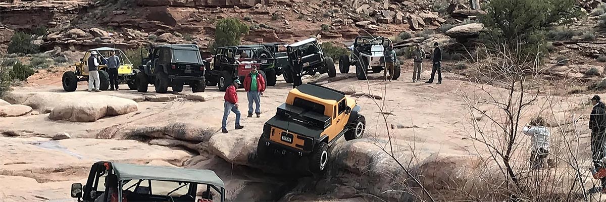
Kane Creek Canyon
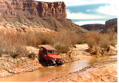
 The trail follows Kane Creek along the bottom of its canyon (officially named Kane Springs Canyon on the maps) between its mouth at the Colorado River and Highway 191, It runs in and out of the creek - more than 50 crossings - but in one area, climbs high on the canyon wall. When the creek is wet, as it is likely to be in springtime, there is mud and quicksand. After a storm, the creek crossings may be impassable. Wet or dry, plenty of brush grows in from the sides of the road allowing for potential paint damage. Approximate mileages: 38 total, 20 off highway.
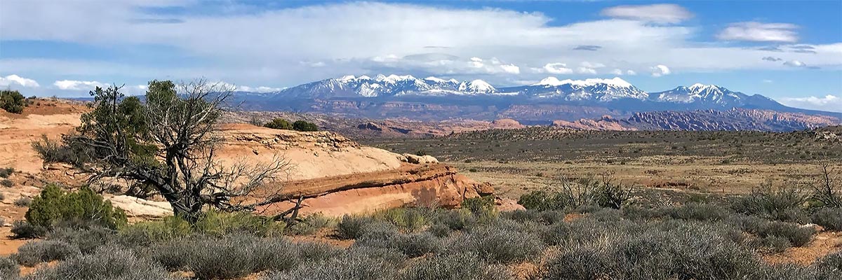
Scenery
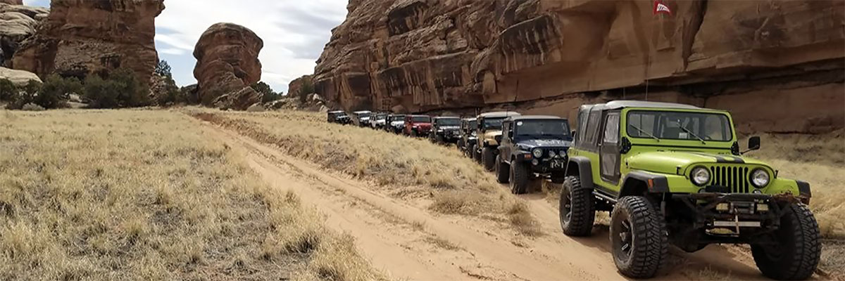
The lower portion of the canyon is narrow, torturous, and one of our most beautiful. Farther upstream, it becomes wider, straighter, and deeper (1000 feet), but it changes character again above the junction with Hatch Wash. There, the water is clear, the bottom is gravelly rather than sandy, and the canyon is more intimate.
Surface
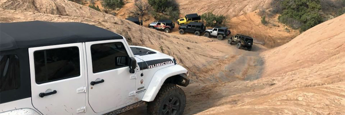
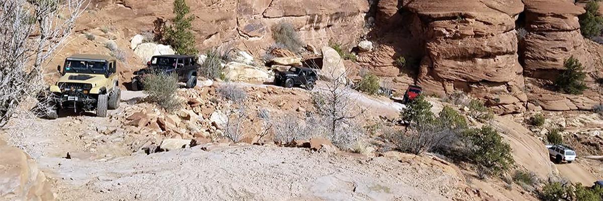
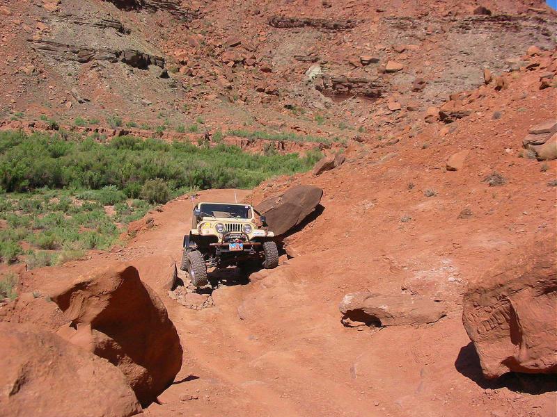
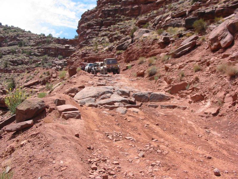
The lower canyon road has a 2WD gravel surface as far as the first creek ford. The next few miles upstream are on a silt bench with many "gotcha" gullies with several narrow spots requiring proper wheel placement. When it reaches the section that crisscrosses the creek, the bottom is sandy - sometimes with quicksand - and brush is thick, growing into the trail. The upper part of the trail has a rocky creek bottom and rocky steps on the narrow shelf road above the creek.
Trail Details
The scenery along the entire trip is spectacular. The major obstacle is the eroded, rocky portion along a narrow shelf section above the creek. Just past this a tough rock ledge at Muleshoe Canyon is a difficult climb on wet tires. Annual erosion has us constantly reevaluating the trail rating prior to each event.
Trail Rating

Trail Notes
Length: total 38, off highway 20Min Tire Size: 35+ inches
Winch: No
Front Locker: Yes
Rear Locker: Yes
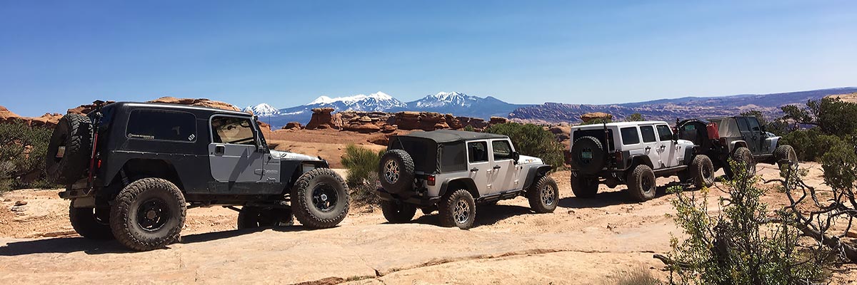
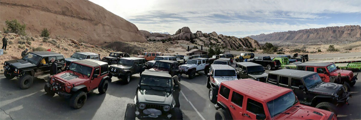
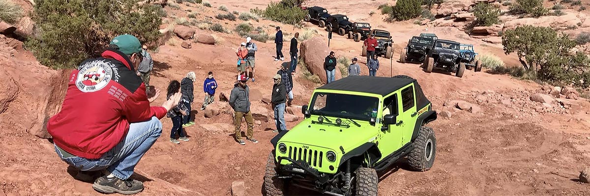
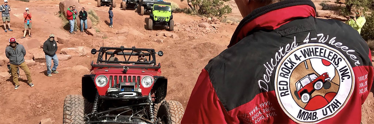
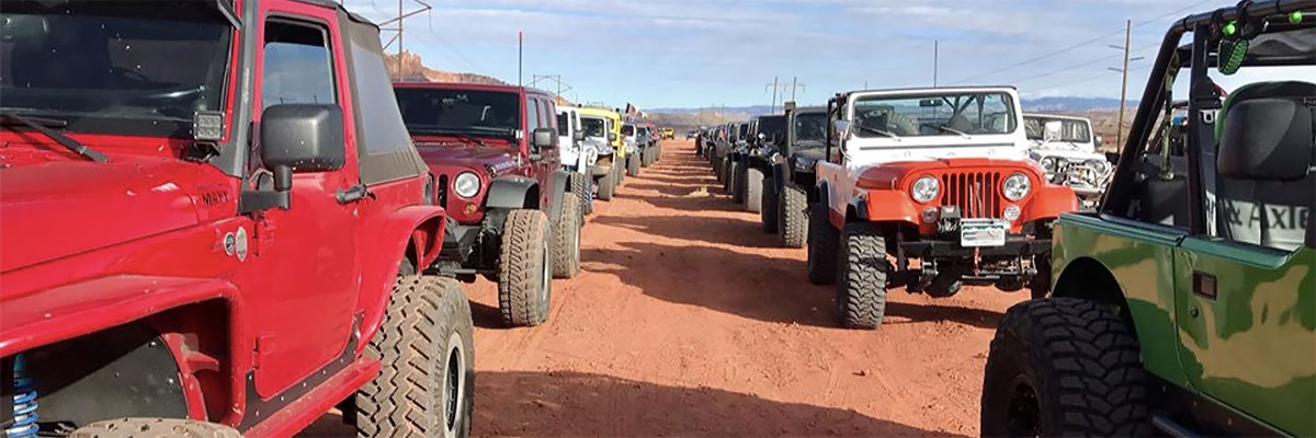
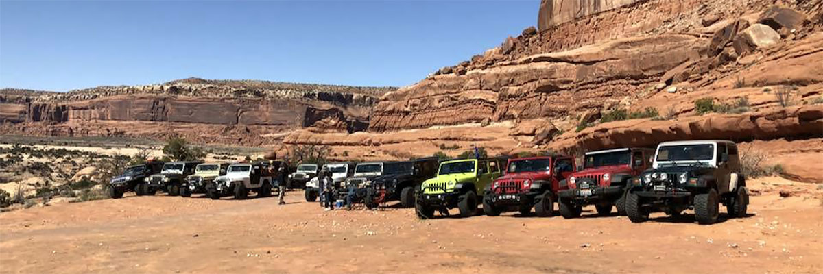
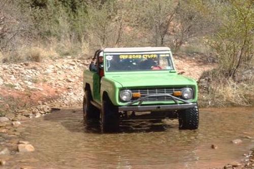
Trail Gallery


 download the kml google earth track