
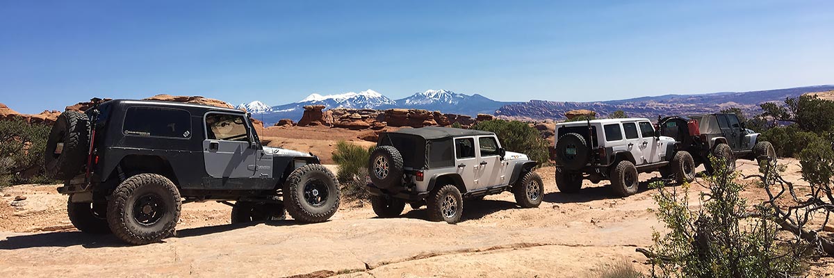
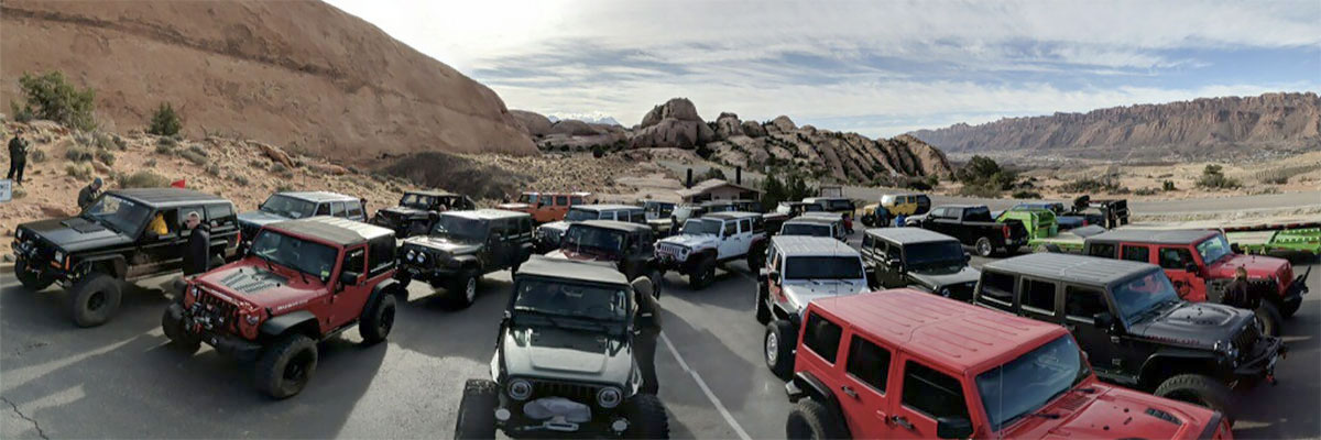
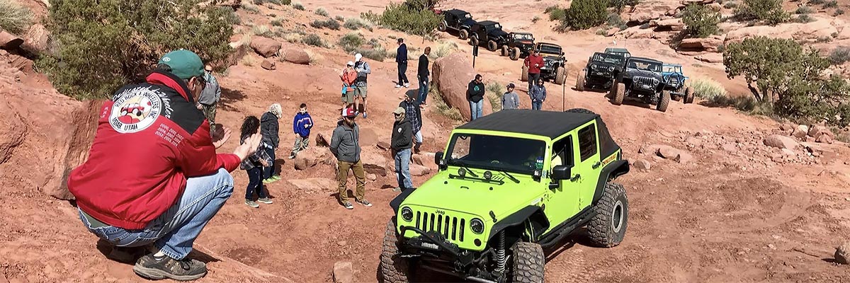
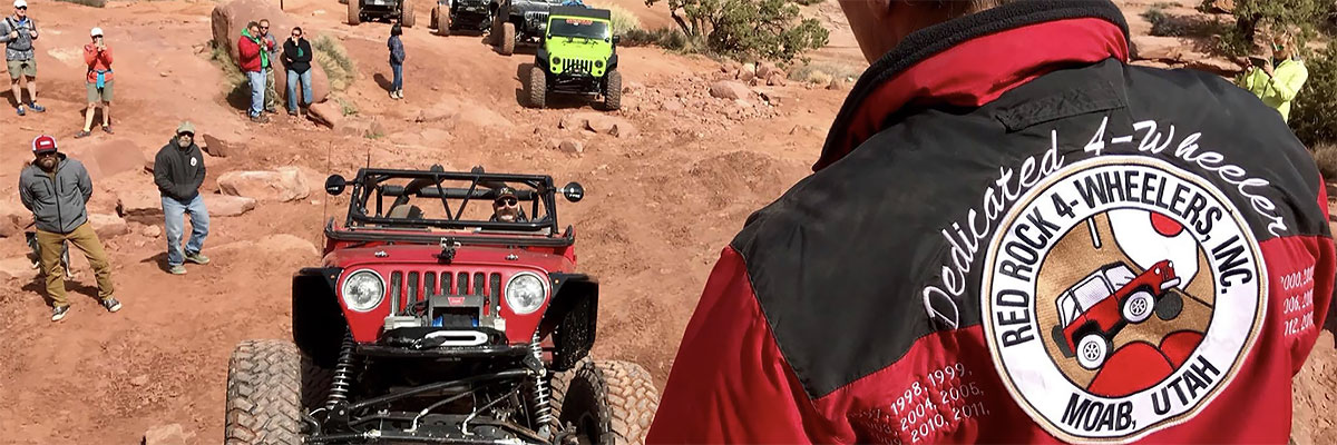
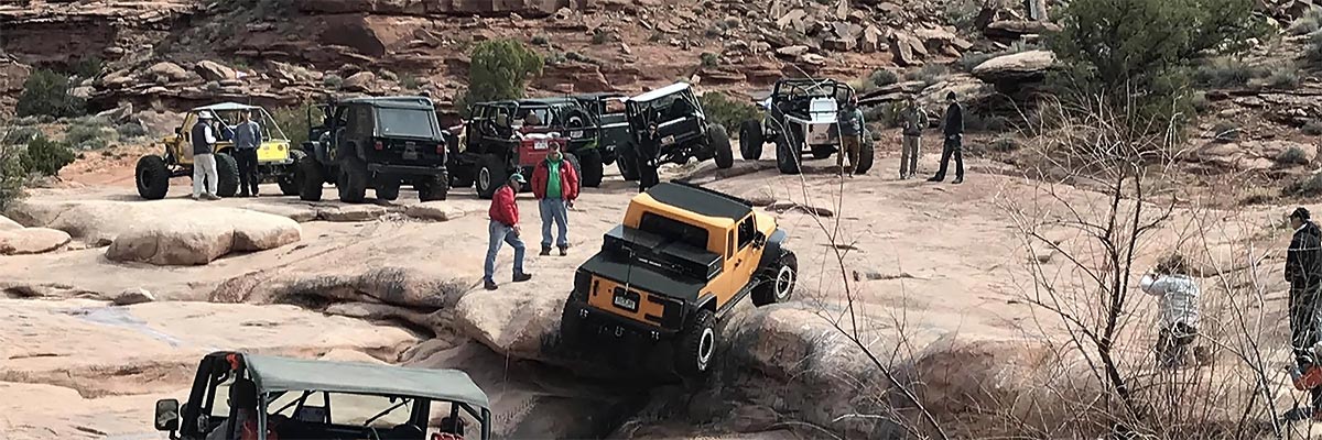
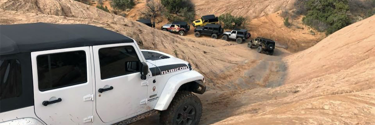
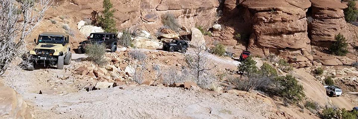
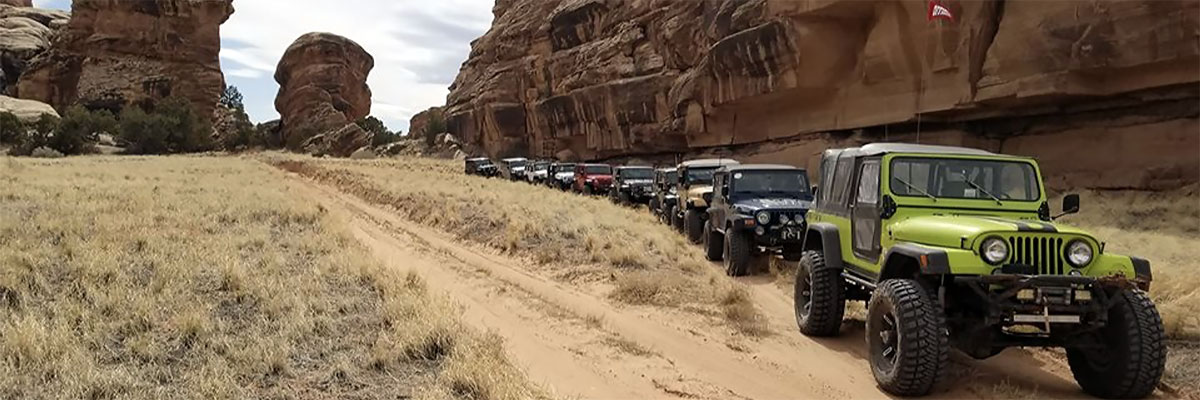
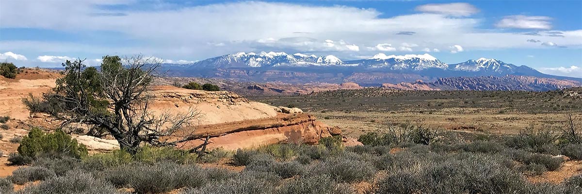
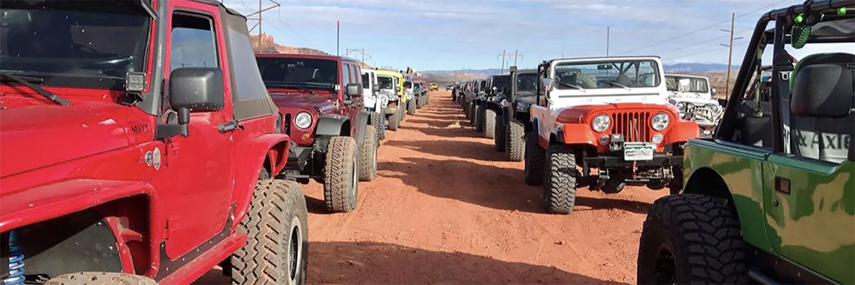
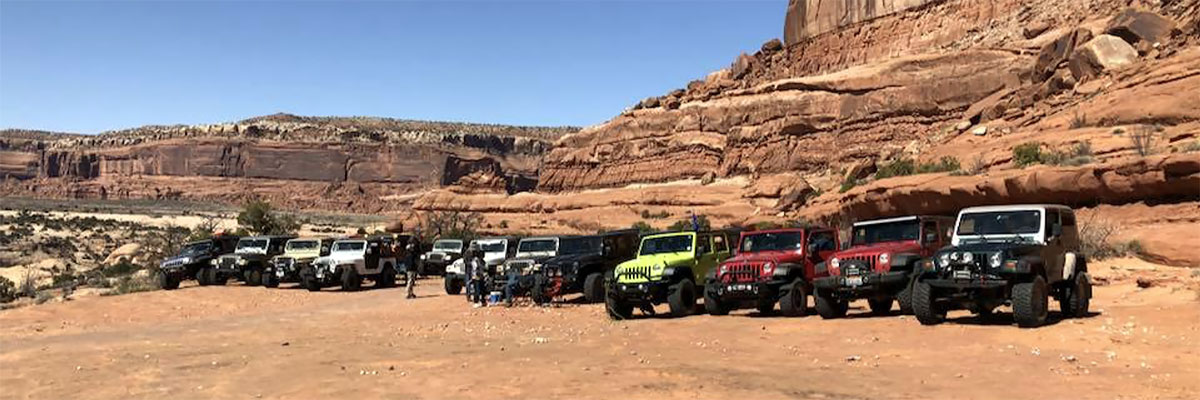
RR4W Trails
You will need to register on the website, and create a vehicle in your profile, before you will be able to register for RR4W events & trails. You can PreRegister here.
Trail Descriptions
3-D
 The 3-D Trail tours the vicinity of colorful Hidden Canyon and Brink Spring, northwest of Moab. It visits the canyon bottom and canyon rim, and, finally, a higher overlook of the area (hence the name 3-D). A few of the hills have been known to challenge stock vehicles, but most of the tour is more...
3-D, The Pickle version
 This trail tours the vicinity of colorful Hidden Canyon northwest of Moab before climbing out of it to explore an exposed section of the Entrada Sandstone Formation named the "Moab Tongue". It then joins a section of the 3d Trail that features the major obstacles of that trail, and ends with a more...
Backwards Bill
 This trail combines the second half of the Wipe-Out Hill Trail and the first half of the Sevenmile Rim Trail for a more challenging trip that retains much of the scenic highlights of both. Participants need to be aware that all vehicles must ascend Wipe-Out Hill; there is no
Behind the Rocks
The land "Behind the Rocks" is an elevated area south of Moab bounded roughly by the Moab Rim cliffs and the rim of Kane Springs Canyon, which is still farther south and west. The trail follows the most difficult of the several routes in this region, and gets its renown and its high rating mostly more...
Behind the Rocks - Tip Toe - 4WD Skills Day
4WD Skills Day trip!
Not your typical trail run! The primary point is NOT to actually run the entire trail, but to use a variety of the different terrain and obstacle types found on portions of the trail for training purposes.
The 4wd Skills Day takes place in the Tip Toe Behind more...
Behind the Rocks Tip-Toe
This trail tours the "Behind the Rocks" country just like the regular Behind the Rocks Trail, but only passes near the nasty hills at High Dive Canyon and White Knuckle Hill for the amazement of those who keep their driving at the lower rated trails. The Tip-Toe routes intersect the difficult more...
Black Dragon - Eagle Canyon
 This trail explores the San Rafael Swell region west of Green River, UT. The route departs from the town of Green River on Interstate 70. After travelling on the highway for approximately 40 miles, the trail drops sharply into impressive Eagle Canyon. There will be a stop at more...
Buttes and Towers Trail
This beautiful trail visits the scenic Courthouse Pasture area northwest of Moab to provide participants with a relaxing, moderate 4 wheeling experience along with picturesque views and vistas of the beautiful reddish Entrada rock formations that are plentiful in this area. The La Sal Mountain more...
Cameo Cliffs
The Cameo Cliffs trail area is some 25 miles south of Moab in an area that has only recently been visited by Jeep Safari. Jack Bickers, a club member in the early years, explored this area extensively in the 1990s, and this trail is comprised of a combination of several of the old mineral more...
Chicken Corners
 The trail name dates from olden days when it was a pack trail and only the least"chicken" passed Chicken Corners. Today travel is easier, the actual Chicken Corners is a hiking trail, but it remains as scenic as ever. The trail follows the Colorado River downstream, squirms through lower Kane more...
Cliffhanger
 This trail is the only vehicle route onto Amasa Back, a rather high isolated area bounded by Kane Springs Canyon, Hurrah Pass, Jackson Hole, and a big loop of the Colorado River. If Kane Creek is full the crossing can become impassable. The views, however, are unusual and spectacular all the way up more...
Copper Ridge
This trail is a combination of several roads north of Moab and near the western boundary of Arches National Park. It lies east of the Moab Fault, so is in younger rock formations than many of our trails. Its slickrock is the top of the Entrada Formation, and its views are often of erosions into more...
Deadman Point
The Deadman Point Trail visits the interesting area south of the Spring Canyon Bottom Road as it approaches its drop into Spring Canyon. This country is bordered by Hellroaring Canyon on the south and the Green River on the west. There are occasional challenges for stock vehicles but this tour was more...
Deadman Springs
Deadman Springs is not far off Spring Canyon Road. The trail will near the site of the actual springs that features a no longer functional stock reservoir. In the 1890's two old cowboys found a dead cowhand at the springs, hence the name. Parts of this trail were used about 20 years ago as the more...
Dome Plateau
Dome Plateau is a large highland area north of the Colorado River and east of Arches National Park. To reach the region from Moab, one must travel more than 28 miles of highway to enter from the Dewey Bridge area on Utah 128. The southern highlands are forested with pinyon and juniper and are cut more...
Elephant Hill (not available as a comp trail)
Ordinarily, the National Park Service likes to keep its trails readily available to the public and not cluttered with large groups. Once again we plan to use this trail under controlled conditions on weekdays. The trail enters the beautiful small canyons, called "grabens," in the Needles District more...
Fins and Things
"Fins" are the Navajo Sandstone slickrock formations northeast of Moab, and the "Things" are what remains as the fins erode. The fins started as wind-blown sand dunes some 200 million years ago, they got cemented into sandstone, and they are now going full circle back to sand blowing in the wind. more...
Fins and Things Benefit Run
For this Benefit run trail description please see the individual trail in the trail listings. We've added a benefit run on Wednesday for the Susan G Komen for the Cure Breast Cancer Foundation. Each participating vehicle will be asked for a donation of just $10. A BBQ hot dog lunch will be provided more...
Flat Iron Mesa
 Flat Iron Mesa is south of Moab and is bounded by Kane Springs Canyon on the north, Hatch Wash Canyon on the west, West Coyote Canyon on the south, and Highway 191 on the east. A main road has a BLM sign, but our trail leaves the highway earlier and it quickly gets 4WD status on numerous old trails more...
Gold Bar Rim
Gold Bar Rim is a cliff rim that stands about 1200 feet above Highway 191's path in Moab Canyon. Because the rocks behind the cliff slope downward to the southwest, the rim has a 360 vista. Gold Bar Canyon drains away from the rim into the Colorado River. The trail climbs the cliff in stages, first more...
Gold Bar Rim, Rusty Nail version
This trail is a short(1 mile) but tough segment that provides a shortcut to the Golden Crack area of the Golden Spike Trail. For the all out Yahoo Jeeper the trail is combined with the toughest part of the Golden Spike Trail, and the entire Gold Bar Rim Trail to provide a trip guaranteed to more...
Golden Spike
The connection between Poison Spider Mesa and Gold Bar Rim was first developed as a jeep trail during the 1989 Jeep Safari. Some folks seem so fond of damaging their equipment that we have made it available most days.
Much of the route is near the rim above Moab Valley and offers views in all more...
Golden Spike, Where Eagles Dare
THis trail runs the complete Golden Spike trip, and adds the Where Eagles Dare loop for some fantastic slickrock dome ascents and descents. Please read the Golden Spike Trail description and view the pictures for more details on that trail. The Where Eagles Dare section demands a vehicle that more...
HellRoaring Rim
The four-wheeling part of the trail is on Mineral Point, part of the mesa country between the long, deep gashes of Mineral and Hellroaring Canyons. These side canyons drain into Labyrinth Canyon of the Green River. The headwaters of these and many other canyons around here are shallow, more...
Hells Revenge
Our premier slickrock trail lies northeast of town between the Sand Flats Road and the river. There are long stretches of slickrock where the 4WD trail has been marked. The most difficult obstacles are out of the stock-vehicle class, but those can be bypassed. There are steep climbs and descents more...
Hells Revenge, Escalator to Hell
This trip is very similar to the normal Hell's Revenge trip. It covers the vast expanse of slickrock via steep climbs and descents, sometimes off camber twists and turns, with harrowing drops to the sides in several areas. It adds Hells Gate and the Escalator to the obstacles of the more...
Hells Revenge, Tip Toe Trip
A weekday trip will follow most of the Hell's Revenge trail route but will emphasize the bypasses at the difficult obstacles.
The scenery and many of the thrills of driving long stretches of slickrock remain, but the emphasis will be on making the trail accessible to stock vehicles and drivers more...
Hole in the Rock (3-days, Sat-Sun-Mon)
Our use of this famous and historic Mormon Trail starts about 150 miles from Moab and includes two nights of camping (in the same campsite). The off-highway portion begins and ends near Halls Crossing on Utah Highway 276 and travels to within a couple of miles of the pioneer crossing of the more...
Hotel Rock
This trail starts and finishes South of Blanding, Utah in the vicinity of Comb Ridge, South of the Abajo Mountains. Hotel Rock is located on Little Baullie Mesa. The trail is about 14 miles round trip that includes steep rock climbs, narrow dirt and rock surfaces including some sandy wash area and more...
Hurrah Pass Plus
For Monday morning of Labor Day weekend, those that can't get enough of the canyon country can take this easy, scenic trip to the top of Hurrah Pass. From the top a vista unfolds of the Colorado River basin below, rimmed by the steep rock walls of the Island in the Sky on the other side of more...
Jax Trax
The Cameo South is an area 25 miles south of Moab is an area never before visited by Jeep Safari. Jack Bickers, a club member in the beginning years, contributed many things to the EJS, mostly related to our trails and their names. Jax Trax is a tribute to Jack, made up of old mineral exploration more...
Kane Creek Canyon
The trail follows Kane Creek along the bottom of its canyon (officially named Kane Springs Canyon on the maps) between its mouth at the Colorado River and Highway 191, It runs in and out of the creek - more than 50 crossings - but in one area, climbs high on the canyon wall. When the creek is wet, more...
LaSal Pass
This trail is offered to let people escape the heat that summer brings to the area. It begins on the floor of Spanish Valley out in the Pack Creek area and climbs up to a flower filled meadow in the shadow of Mt Peale, one of the La Sal Mountain's high peaks. For those used to more...
Lost World
New to Safari in 2024, this trail passes Dubinky Well and goes in between Rainbow Terrace and Lost World Butte. It proceeds into the area southeast of Tenmile Canyon, passing several arches and stunning
Metal Masher
A major trail goal is Arth's Rim, which overlooks Highway 191 about 1300 feet below. The route first angles up the sloping part of the cliff to a gap in the rim rock. It follows Little Canyon partway into the mesa to resume the climb along the more gentle slope of the tilting rock strata. Much of more...
Moab Rim
The Moab Rim is the cliff rim seen just to the southwest of town. Its only four-wheel-drive access begins just downriver from town and the first mile has about the highest density of obstacles of any of our trails. Many vehicles have "bit the rocks" on the succession of rock ledges and tight turns more...
Poison Spider Mesa
Poison Spider Mesa forms one of the cliff features that is part of the Moab landscape northwest of town. The mesa is bordered on the east by Moab Valley and on the south by the Colorado River. Access is via Scenic Byway 279. The trail climbs to the rim via the sloping rock layers. The first few more...
Poison Spider, Where Eagles Dare
This trip includes the regular Poison Spider trail and adds the challenging "Where Eagles Dare" loop. The steepness of the ascents and descents demand a vehicle that is operating properly, and a driver that is used to dropoffs that make those on Hell's Revenge look tame. Since all the more...
Polar Mesa
Please note - the 2017 Labor Day Campout does not run this trail as a campout trail - it is a one day only trail.
This Labor Day Campout trail features an overnight stay up on the flanks of the La Sal Mountains. The trip starts with 19 winding miles of pavement on Utah 128, a designated scenic more...
Porcupine Rim
The trail begins at a spring fed water tank beside the Sand Flats road about 9-1/2 miles from Moab and drops down to a ledge above Negro Bill Canyon. It follows the narrow terraces along the upper slopes of the canyon. It then drops down into a small drainage and begins the rocky ascent to the top more...
Pritchett Canyon
 Pritchett Canyon is becoming more difficult every year, and is now to the point where the average, well equiped trail rig may have great difficulty in completing the trail. Vehicles with large amounts of lift will find the trail especially harrowing, as the many off camber spots will induce body more...
Rose Garden Hill
This trail evolved from a longer trip that went up Cottonwood Canyon to visit sites on Sevenmile and Waring Mesas. Weather and travel took its toll, so now the trip has become a stand alone full day trip just to reach and conquer the hill itself.
How best to explain the hill to an more...
Secret Spire
This trail rides the rolling mesa top between two of the Green River's large tributary canyons, Hellroaring and Spring Canyons. It goes close to the deep portions of Spring Canyon, and it crosses the shallower upper Spring Canyon to visit a strange tower, dubbed the Secret Spire. It is a good trail more...
Seven Mile Rim
The Sevenmile Rim trail leaves Highway 191 just north of Highway 313, about 11 miles north of town. It passes the old Cotter uranium mine and switches back to reach the cliff rim above the mine and Highway 191. The intense mining activity left a maze of core-drilling roads on the mesa top, and the more...
Steel Bender
This trail's difficulty rating keeps moving around as the conflicting forces of erosion and trail repair modify the obstacles. The trail lies between Moab and the La Sal Mountains in the vicinity of Mill Creek, a major drainage from the mountains. It crosses the creek a few times and travels a more...
Tommyknocker Trail
This trail is another of the scenic trips offered to the Cameo Cliffs area south of the town of La Sal. It enters the area from a sagebrush flat on the northern end of two large drainages that are eroding canyons into the western slopes of Lisbon Valley. It proceeds to dip into both Hook and Ladder more...
Top of the World
"Top of the World" is a viewpoint on Waring Mesa. It has a spectacular view of Fisher Valley, Onion Creek, and the La Sal Mountains, but this view is only part of a variety of landscapes seen from this trail. Waring Mesa is east of Moab and south of the Dewey Bridge crossing of the Colorado River. more...
Wipe-Out Hill
This trail tours a region south of Canyonlands Airport and west of Highway 191. It uses portions of Bartlett Wash, Tusher Canyon, Courthouse Pasture, the south cliff base of Big Mesa. Variety is its strong point, with a wide range of scenery and trail surface and a couple of challenging hills. more...